Our study sites are located in the Antwerp suburb municipalities Hove and Wilrijk. It is a densely populated area, but with sufficient elements of “green” and “blue”. We identified a number of ditches and ponds that have been constructed over the past 20 years. Not all of these ponds and ditches have been designed to deliver ecosystem services. To prevent hydraulic overloading of sewage systems with rainwater, there has been an active policy to decouple rainwater from paved surfaces. This has led to the creation of ponds and ditches that have been designed primarily for water storage and flood control and are often too deep. Although they seldom fall dry, have good water quality and biodiversity values, they also drain away huge amounts of groundwater. In a drought-stricken region, this is not always desirable. We will investigate the hydrological and ecological values and propose solutions.
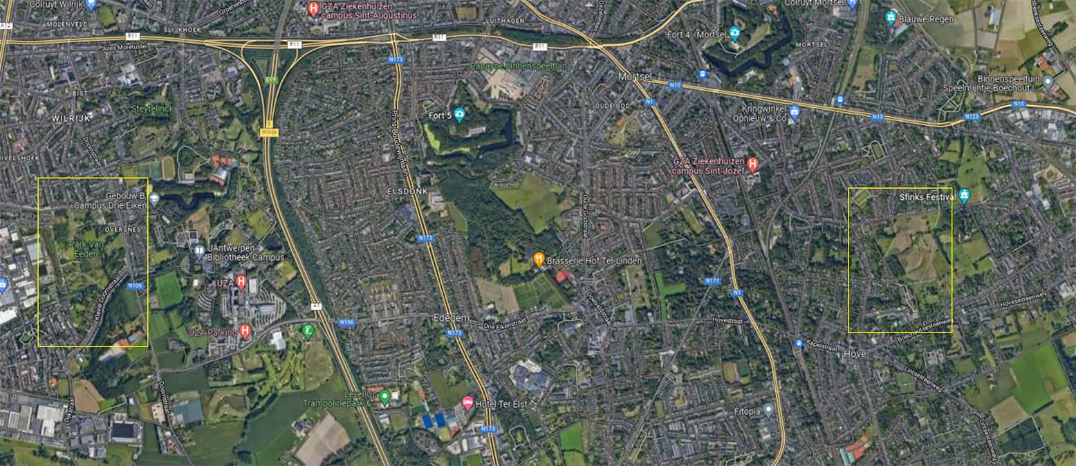
Park van Eden
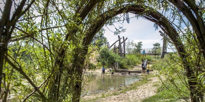
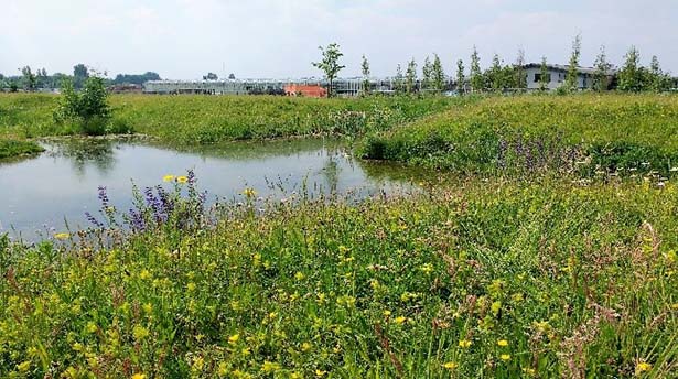
Park van Eden declares itself to be a wild and adventurous park. This park is 23 hectares and was opened in 2013. This used to be agricultural land, but when it became vacant, it suddenly created an opportunity to create a new green lung. 14 hectares are freely accessible, the rest is nature reserve and managed by NGO Natuurpunt. They regularly organise guided walks, where you learn more about the area's fauna and flora. This park is the largest playground in Antwerp. There is no playground equipment, but there are lots of natural playthings for children to have fun with.
It shows that a well-considered design can deliver a lot of ecosystem services and biodiversity. Runoff water from the business park (west of the park) is led through ponds and end up in the playground. There is also a small part of a very old anti-tank channel present in the site. The site has a nature management plan and is managed partly by the nature NGO.
Frijthout
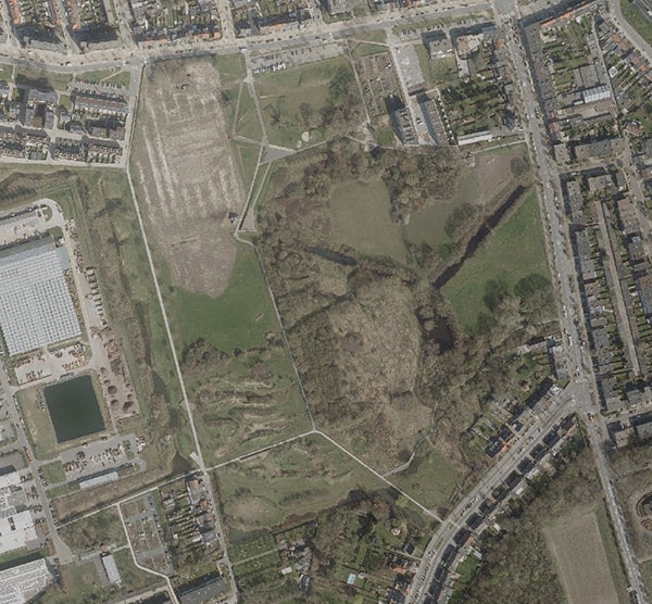
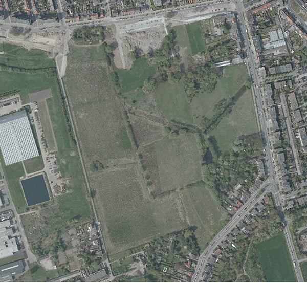
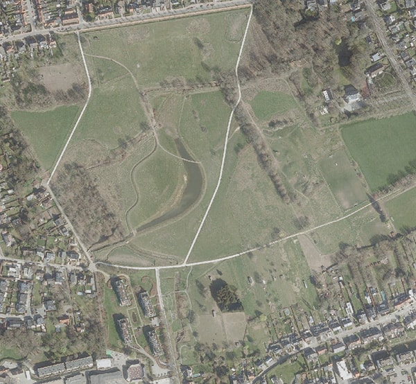
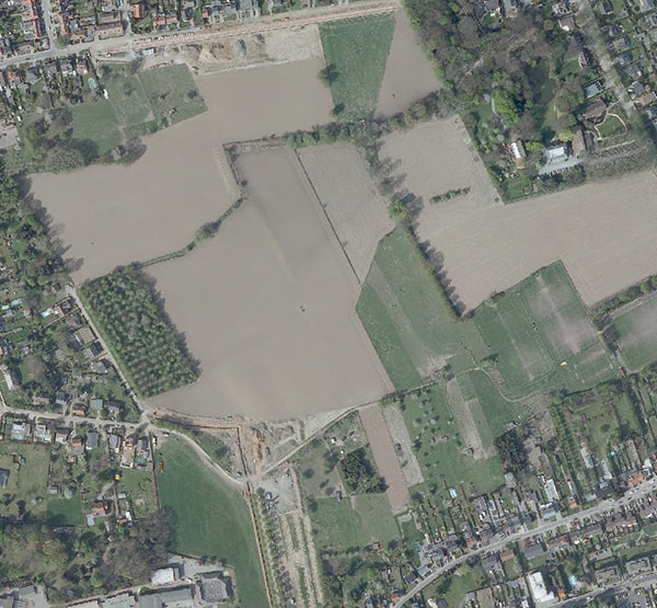
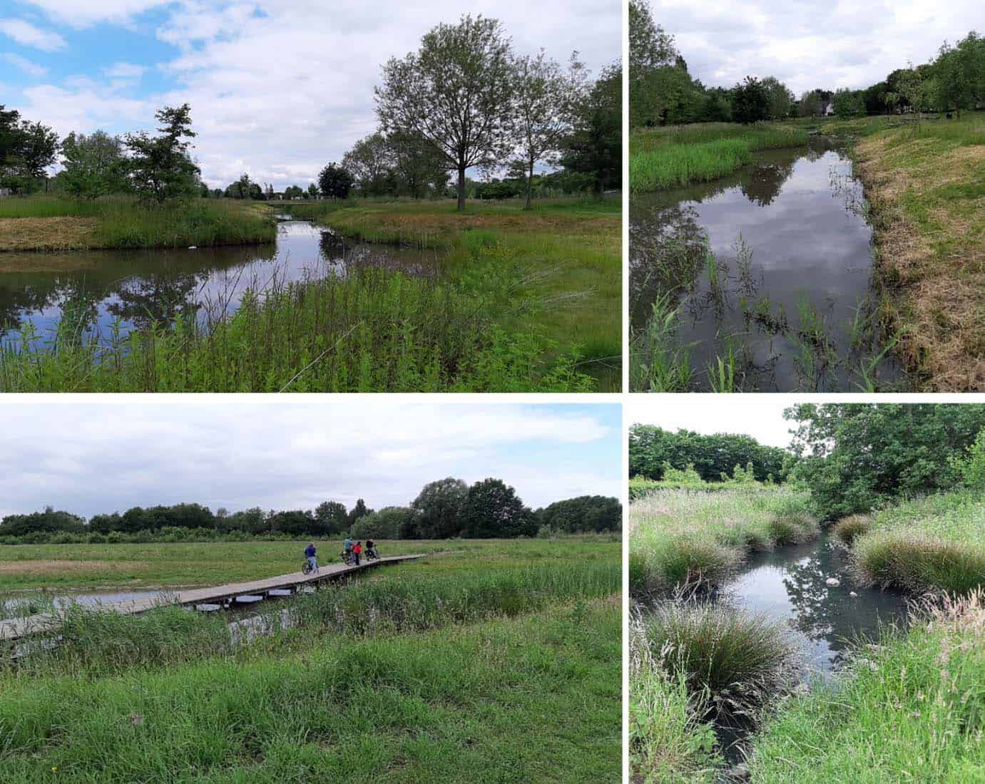
Frijthout is another example of a well-designed nature based solution. It shares a few principles with Park van Eden. Also here runoff water is guided through a series of connected ponds. The ponds have a lot of gradients in depth and shading.
A Special Plan of Construction (BPA) 'Frijthout' was drawn up for this area by the municipal administration in 2007. This policy document with plan opted for a natural landscape park with numerous connections, water buffering and natural character.
Before the realization of the plan, the land was still used as agricultural land. The municipality initiated negotiations with one of the main landowners. In 2012, the municipality became the owner of a large part of the land. Contacts were then made with the other landowners and key partners. The site has a nature management plan and is managed partly by a nature NGO.

Project funders:
This research was funded through the 2020-2021 Biodiversa and Water JPI joint call for research projects, under the BiodivRestore ERA-NET Cofund (GA N°101003777), with the EU and the funding organisations The Research Foundation - Flanders (FWO), Belgium; Academy of Finland (AKA), VDI/VDE-IT, Germany; National Science Center (NCN), Poland and Fundação para a Ciência e Tecnologia (FCT), Portugal

